Bukit Berembun or Is it Berembun?

One of the nice falls we encountered.
Weekend is coming again and my wrist is still in pain. Patrick was suggesting simpler hikes as my wrist was still healing from last week's fall. I replied, " Why not try to finish what we started last week." He answered, " I am all for it!." I think my wrist is manageble, so I thought!

Patrick and Bella looking fresh.
So, same place same time as last week. This time, we have Bella to join us on our exploratory hike. My car broke down at the last minute, so I have to walk to the designated meeting place. It's not so far from my home. At 5.30am I started from my home with a backpack, another bag filled with my hiking shoes and a camera bag with a hiking pole dangling from somewhere. I was apprehensive whenever I saw motorcycles passing but I was facing the traffic. Sigh............... such is living in KL. They were already there when I reached the 11th mile toll plaza so I hopped in and off we go via the 'Lekas' highway.

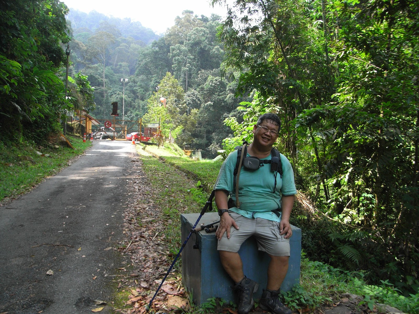
Patrick and me looking really fresh.
We went to the same 'mamak' shop in Seremban that we patronised last week. We then proceeded to the trail head in Pantai after that. It was only 7.00am then. Without any further delay we put on our hiking shoes and backpacks, switched on the GPS and off we went. We went into a branching trail that we didn't do last week and further on I saw that the trail on this path was more clearer. I also noticed the trail follows the meandering river. It was not steep and the hike was pleasant but there were many fallen logs to clamber over or go under. Some is so big and with my hurtful wrist, I can't go over it but to take off my backpack and go under on all fours.
The forest here was really virgin as mentioned on the notice boards and I mean really virgin. There are no plastic markers tied to trees and no paper trails, just thick carpet of fallen dried leaves which means leeches! After an hour we can hear loud gushing of waterfall and detoured into a smaller trail which leads us to the waterfall. It was nice and refreshing. We took a few snaps and made our way back to the main trail. The trail was still meandering along the river banks. Many times the trail detours around obstacles like fallen trees. After 2 hours hike we came to the end of this trail with a large rock blocking the path. We were still near the river. Patrick clambered up the slope beside the boulder while I and Bella watched.
The forest here was really virgin as mentioned on the notice boards and I mean really virgin. There are no plastic markers tied to trees and no paper trails, just thick carpet of fallen dried leaves which means leeches! After an hour we can hear loud gushing of waterfall and detoured into a smaller trail which leads us to the waterfall. It was nice and refreshing. We took a few snaps and made our way back to the main trail. The trail was still meandering along the river banks. Many times the trail detours around obstacles like fallen trees. After 2 hours hike we came to the end of this trail with a large rock blocking the path. We were still near the river. Patrick clambered up the slope beside the boulder while I and Bella watched.

Wonderful trail
I then noticed an assembly of rock. Three rocks to be exact, one atop each other. A few metres towards the river is another formation which means we have to cross the river. We hollered for Patrick to return and we cross the river afterwards. We looked for signs of trails after crossing but didn't see any. So, We went up the slope and we saw another trail there. On the right was a big fallen tree with branches fanning all over and the only visible trail we saw was to the right. We hiked for 30 minutes before I felt it was not right. We were hiking with the flow of the river while we should be doing the opposite, againts the flow. I checked my GPS and call them to regroup. I told them we are hiking back to our original position and we should go back to the river crossing. They didn't objected so we hiked back to our original position. As we proceeded, I felt some stinging in my abdomen. I told them to carry on and and when they went out of sight, I took off my pants and undies. There it was! The little rascal was among the hairs. I pulled it out and threw it into the bush. It was hitching a free ride with meals thrown in. What a bargain! We have been practically pulling off leeches all the time since the hike started.

Relaxing at the falls.
Back at the fallen tree we regrouped. I told Bella about the leech and she wanted to hear nothing of it. Too obscene for her. Ha,ha. Here, we either have to cross back to the other side and try another path or............ I told Patrick to see if there are other trails beyond the fallen tree. He did not see any but I asked him to climb over the trees anyway. He did as said and once there he saw another trail. So me and Bella would have to do the same too. After some effort, both of us are also over the other side.
We are hiking in the right direction now. Again, we were crossing rivers and hurdling over obstacles, dragging leeches off our limbs. There's also a part where we need to splosh through ankle deep mud, black coloured slosh! We have to do that under an arch of low growing vines and leaves. After a while still in the mud we need to go over fallen trees and this mud wading went for about 30 meters. My shoes were covered with the muck and Bella very ladylike managed to keep her socks clean. I wonder how she manages that! Patrick was practically wading through the muck but he was wearing an Adidas water shoes. So, not much problem while luckily for me I was wearing an ankle height shoes and today it has proven it water proofing capability. Bella was complaining of hunger now so we chose a nice riverbank spot and took five. I was not really hungry but I rewarded myself with the big bottle of 100Plus I carried in my backpack. This seems to be the perfect time.

The creek where we had lunch.
The inclination of the trail started to increase from here onwards but not that acute. It was still very gradual hike. There were more leeches though. As usual we were checking for leeches, spraying Mosi Guard avoiding hanging vines, climbing over fallen trees and going under them. After another hour or so, we came to a large overhanging rock, much like Bukit Kutu's but smaller. I recognised it as 'Gua Kambing' from the blogs. I can now confirm that we are on the right trail. Hooray! for that.

Patrick and myself resting in Gua Kambing.
After resting, I told Bella and Patrick to continue on as I am giving up. I needed the rest. They urged me on and was willing to wait for me to completely rest. After half an hour, we mounted our backpacks and continued. We stone hopped over some rocks here as there a water source here. At some point, Patrick who was in front started laughing, while looking at the trail. I knew what that means and when Bella reached, she sighed ! When I saw the 60 degree inclination that leads to infinity, I gawked! After a few minutes into it, I hollered to Patrick and Bella to carry on. I am going back to 'Gua Kambing'. They discussed for a moment and after reassuring that I will be fine, they carried on. Patrick came down to get the camera from me. At least I have a picture of the peak.
While they went up, I trundled down. At 'Gua Kambing' I took out my fly sheet, no, not ground sheet but fly sheet, and laid it on the ground. I wanted to rest, whatever sheet will do! I sat on the sheet and took off my shoes. There was three fat slugs feasting on my blood. Took them out and it was bleeding. I took my first aid kit out and wash the skin puncture with Dettol and plastered it with Band Aid. Pulling the one at the rear of my left leg was hard as my wrist can't seem to be able to grip it. I then went to sleep. After an hour I woke up and there was bees and some black bugs flying all over me. There were thirsting over my sweat. I took out my lunch (cheese sandwich) and slowly munch it and gulped my 100Plus. I was enjoying my little party alone in presence of solitude! Wonderful.
At 2.30pm, I called Bella on my hand phone. My Celcom line had a bar but Patrick's Digi is dead! Bella's Maxis rang once but she did not pick up and after a few attempts her's too went dead. I can hear thunder and dark clouds were looming past. I am worried about them and also the rain if it comes. We have cross so many rivers and if any one of them swells, we can't go back. Hiking in the dark is still OK as both me and Patrick carries torch lights but we can't do anything about river swells. Only thing we can do is pitch a tent and stay under it for the river level to subsides. That's why I have a fly sheet and cords in my back pack. Then at 3.00pm, I can hear their voices and I was relieved.

Bella at the peak after the 6 hours hike.
By the time they are down, I was already long packed up. After a few minutes rest, we started down without delay. Going down is the same story, detouring over obstacles, climbing over them, going under them but at a faster pace. Back to the sloshy part, then back to the fallen tree and cross the river. After here, I can rest assured as this is the major river crossing. We had a rest here and ate some dried fruits, dates and raisins to be exact, brought by Patrick. After a while we started back without delay and hiked as fast as we possibly able to, just to save daylight time. I was sweating profusely at this pace and my spectacles are all blurred with sweat and I can't wipe with anything as everything on me is wet. We just kept going and going and finally we reached the car park at 6.00pm. Whew! it was still daylight. Patrick went to the river to clean up while me and Bella changed into dry clothes. Then Patrick came back but we were too tired to doing anything else. Patrick was tired too, so he postphoned leaving for a while. Imagine myself, if Patrick is that tired, I can sit there all night if he wants to.
We rested for 40 minutes before we finally hopped into the car. We were hungry but nothing in Seremban really fancied us so we decided to head straight to KL for dinner. We went to a 'Yong Tow Foo' shop in Bandar Mahkota Cheras. It is a branch from one of the few famous ones in Ampang. My wife went there too to fetch me and we had a good and satisfying dinner. When Patrick stood up after the meal, there was blood all over the chair. Seems Patrick is having periods, ha,ha,ha. There was still blood suckers in his butt. The shop's waiter gave a 'yuccckish' look after seeing the chair before taking it to the back to wash.
The total distance I covered was 14 kilometers and moving time was 4 hours. So, I can presume that to do the peak, it is a 5 hour journey one way although it might just be 9 kilometers to the peak. Funny fact is, the peak was measured at 682 metres asl in the blogs but the contour maps in our GPS states the peak at within the 1000 metre line. Proof of that is Patrick recorded the peak at that height too. I was in 'Gua Kambing' which recorded 660 metres asl on my GPS while my watch recorded about the same. Did they hiked another peak?
We rested for 40 minutes before we finally hopped into the car. We were hungry but nothing in Seremban really fancied us so we decided to head straight to KL for dinner. We went to a 'Yong Tow Foo' shop in Bandar Mahkota Cheras. It is a branch from one of the few famous ones in Ampang. My wife went there too to fetch me and we had a good and satisfying dinner. When Patrick stood up after the meal, there was blood all over the chair. Seems Patrick is having periods, ha,ha,ha. There was still blood suckers in his butt. The shop's waiter gave a 'yuccckish' look after seeing the chair before taking it to the back to wash.
The total distance I covered was 14 kilometers and moving time was 4 hours. So, I can presume that to do the peak, it is a 5 hour journey one way although it might just be 9 kilometers to the peak. Funny fact is, the peak was measured at 682 metres asl in the blogs but the contour maps in our GPS states the peak at within the 1000 metre line. Proof of that is Patrick recorded the peak at that height too. I was in 'Gua Kambing' which recorded 660 metres asl on my GPS while my watch recorded about the same. Did they hiked another peak?